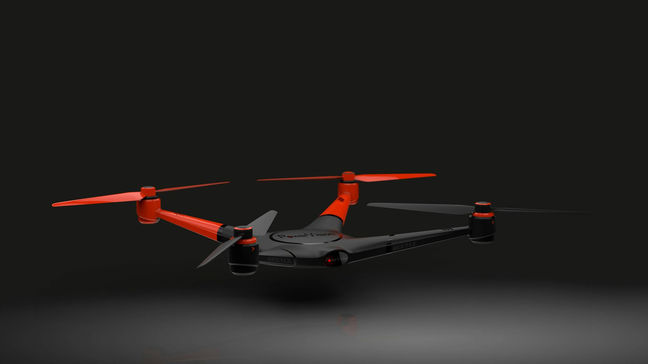
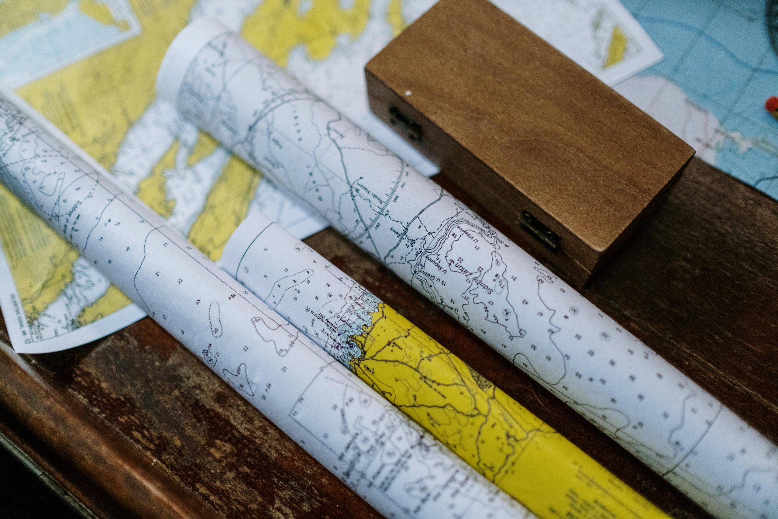
At PrintPro, we specialize in delivering end-to-end geospatial solutions — from field data collection using advanced surveying, drones, and remote sensing technologies, to spatial analysis, map design, and high-quality printing. Whether it’s for urban planning, agriculture, infrastructure, or environmental projects, our team ensures precision at every stage. By combining technology with deep geospatial expertise, we transform raw data into clear, actionable maps and beautifully printed outputs that support smarter decision-making.